Department of Urban and Regional Planning, Diponegoro University, Semarang, Indonesia


Department of Urban and Regional Planning, Diponegoro University, Semarang, Indonesia
Created by A. Alam Samudro Wicaksono in 2015
An Ecotone is defined as a transitional zone between two adjacent ecological systems. The northern coast of Java Island, Indonesia, is an example of an ecotone where terrestrial and marine environments converge to form a unique and dynamic ecological system. This project examined the coastal ecotone in Semarang-Demak in Central Java, Indonesia. By showcasing the changes in the transitional area between land and sea, and differences from Semarang’s urban fabric to Demak’s rural landscape, the project has helped illustrate how rich and dynamic characteristics can create interconnected problems that cause environmental degradation and disruptions to communities’ livelihoods.
This project’s deliverables were designed to visualise the shifting dynamics and adaptation measures to Wicked Urban Problems in Semarang-Demak coastal ecotone areas and employed temporal storytelling using digital interactive platforms: an Ecotone Time Map, a video, and 3 virtual reality (VR) experiences.
These outputs were presented at a final exhibition event on the 10th of December 2025 at the Department of Urban and Regional Planning, Diponegoro University, Indonesia.
Click here for the project report
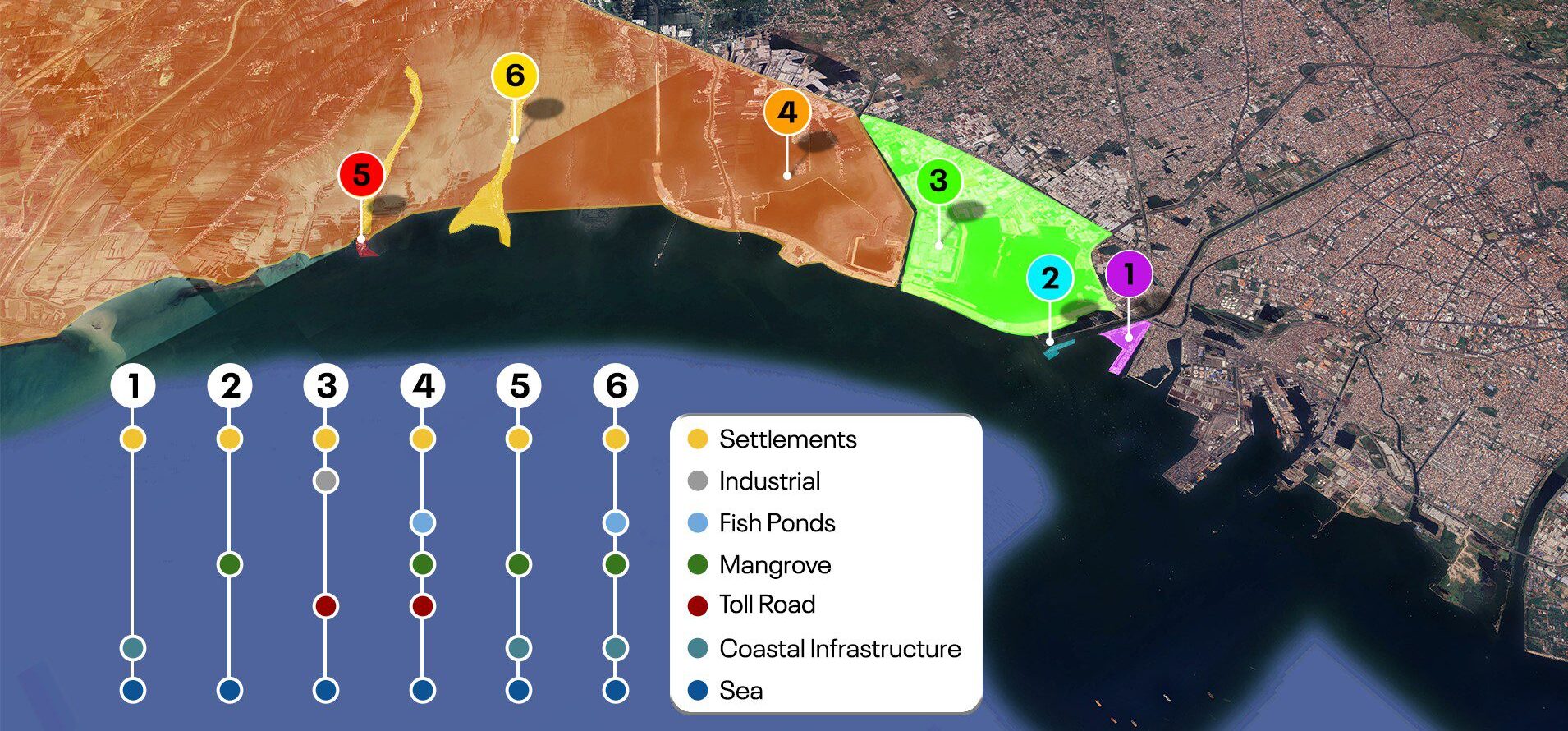
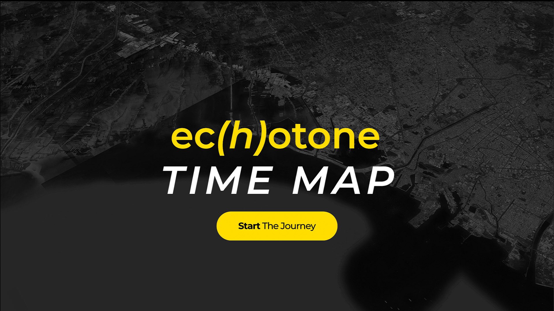
The ecotone time map comprises a digital map and a 2-dimensional printed map that provide information on how the coastal ec(h)otones of Semarang and Demak have changed over time through the dynamic interactions between natural processes and human activities, revealing spatial-temporal transformation in land use, coastlines, and socio-environmental settings over the span of 25 years.
Please click on the image below to access the time map.
Time Map A. Alam Samudro W.
The video is designed as a reflective learning tool to help audiences comprehend the socio-ecological transition occurring in the Semarang-Demak coastal ec(h)otones and its intersections with wicked urban problems.
Please click on the image below to access the video.
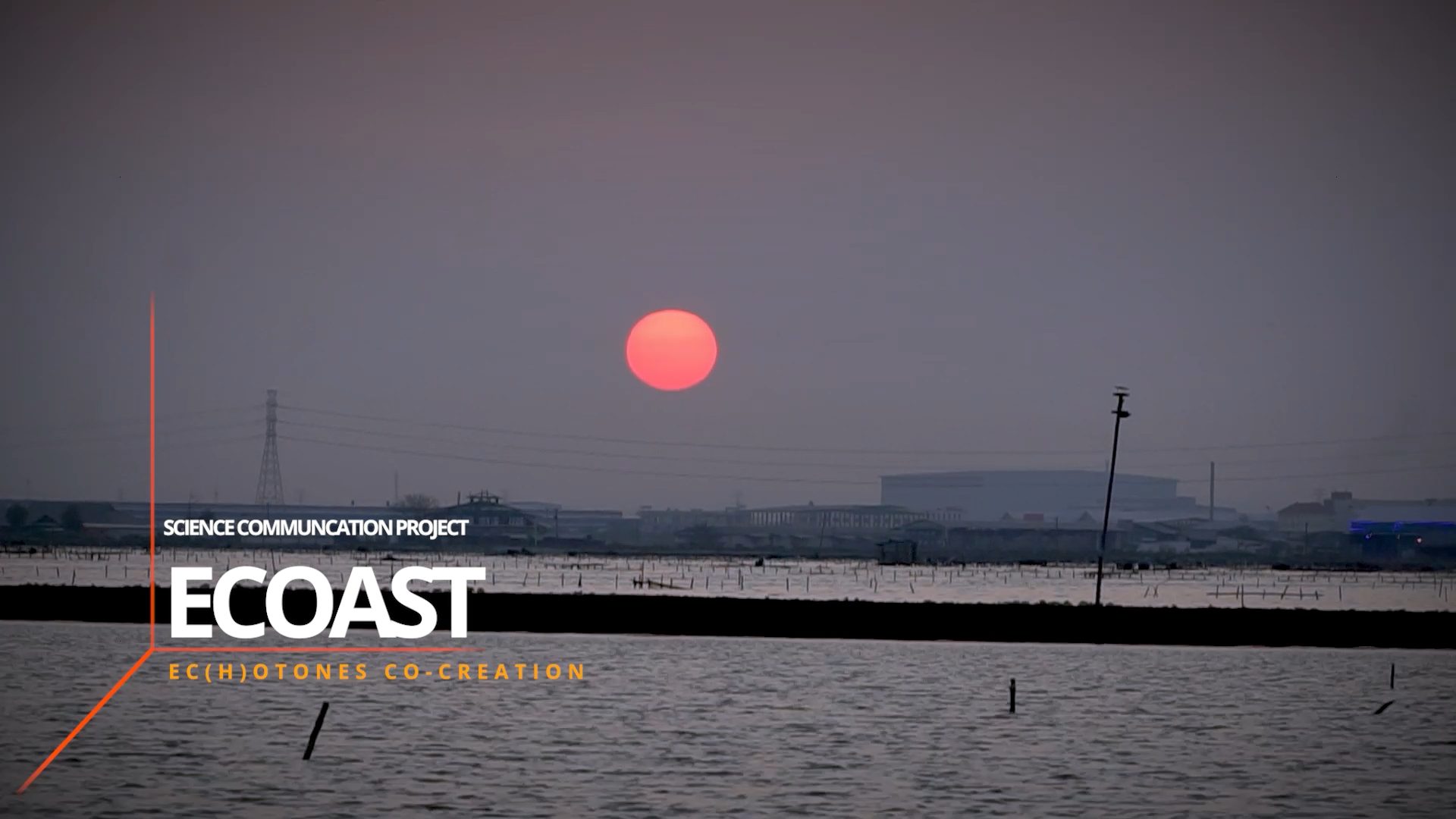
Video Garashi Production House
The virtual reality (VR) videos serve as an immersive medium that allows the audience to directly experience the ambience of the study sites. The VR experience is delivered using a VR headset and a headphone to enable the users to perceive spatial realities and everyday life in these areas as if they were physically present. The team chose three representative points for the VR, one in an urban area, namely Tambaklorok (Semarang), one in a peri-urban area, namely Sriwulan (Demak), and one in a rural area, namely Timbulsloko (Demak), to convey the contrasting atmospheres across the three different settings, giving the users an experience of sensing the ec(h)otones from urban to rural. The videos can also be viewed without a VR headset.
Please click on the links below to watch the VR videos:
Urban area – Tambaklorok, Tanjung Mas, Semarang City
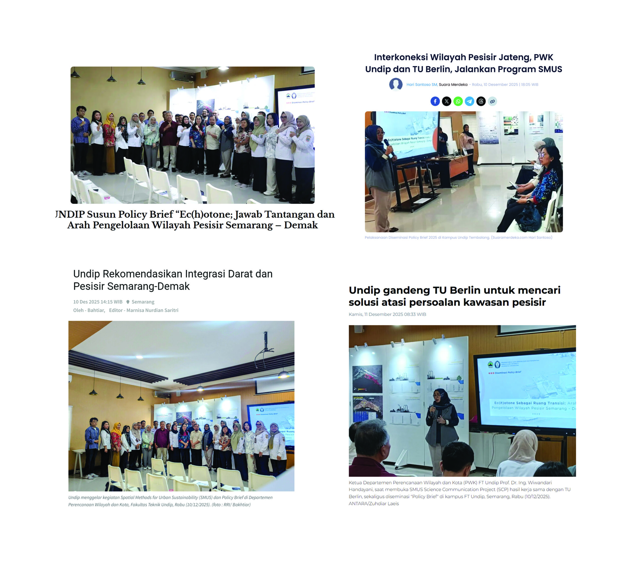
UNDIP dan Technische Universität Berlin Luncurkan Produk SMUS Science
Communication Project
|Universitas Diponegoro |
Interkoneksi Wilayah Pesisir Jateng PWK Undip dan TU Berlin Jalankan
Program SMUS
|Suara Merdeka |
Undip Rekomendasikan Integrasi Darat dan Pesisir Semarang-Demak
|RRI |
Undip Rekomendasikan Integrasi Darat dan Pesisir Semarang-Demak
|Antara Jateng |
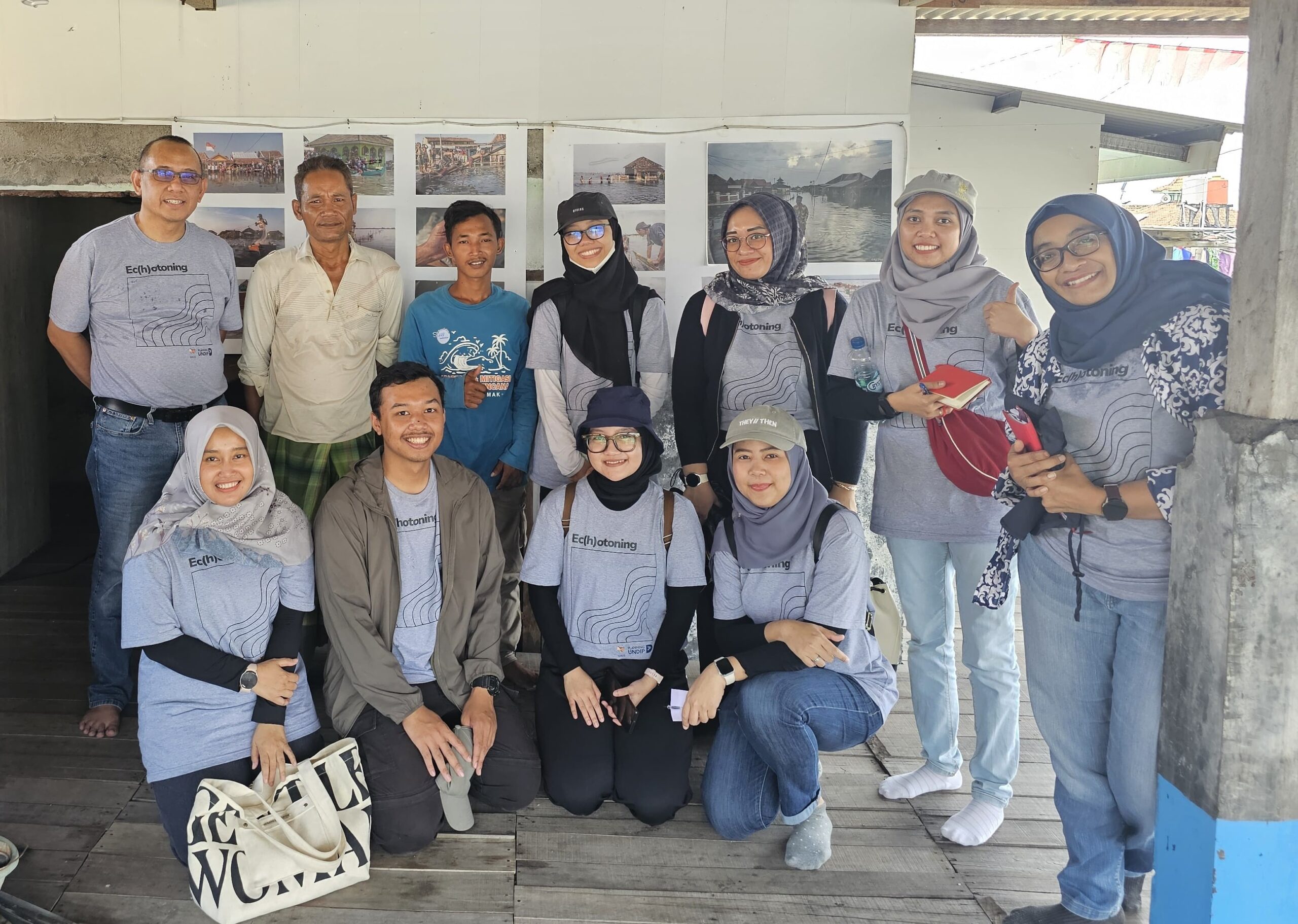
Photo Juan Ramadhan, 2025

Iwan Rudiarto – Lead Partner
Nurul Hasfi
Wiwandari Handayani

Santy Paulla Dewi

Astrini Ayu Puspita

Retno Sari Dewi

Tia Dianing Insani
Elisa Rahma Putri
Citra Tatius