






Joel Ongwech
The 2025 SMUS–APRI Urban Africa Post-Doctoral Research Scholarship Programme was designed to strengthen postdoctoral researchers’ ability to communicate findings on urban “wicked problems” in African cities to policymakers and the public at large through a series of policy briefs.
The resulting APRI special series, “Wicked Urban Problems in African Cities: Rethinking Policy and Practice”, comprises four briefs by Dr Mildred M. Ambani Songoro, Dr Calvince Ouko Othoo, and Dr Emmanuel Amponsah, with guest contributors Mourice Wambua Kausya and Brunilde Verrier. Each brief tackles a distinct urban challenge: a failed transit system, a broken mapping workflow, corruption in water provision, and the persistence of illegal electricity connections. Read together, the briefs highlight a recurring urban policy dilemma in which behaviours treated as problematic are often rational responses to conditions of systemic exclusion.
The wicked urban problems highlighted in the policy briefs are systemic, politically contested and mutate as actors respond to attempted fixes, so that one-dimensional fixes generate new harms rather than resolving existing challenges. These recurring paradoxes, or “wicked problems,” as Rittel & Webber (1973) call them, form the theoretical basis of this series.
Geo-visualising informal settlements in Nairobi
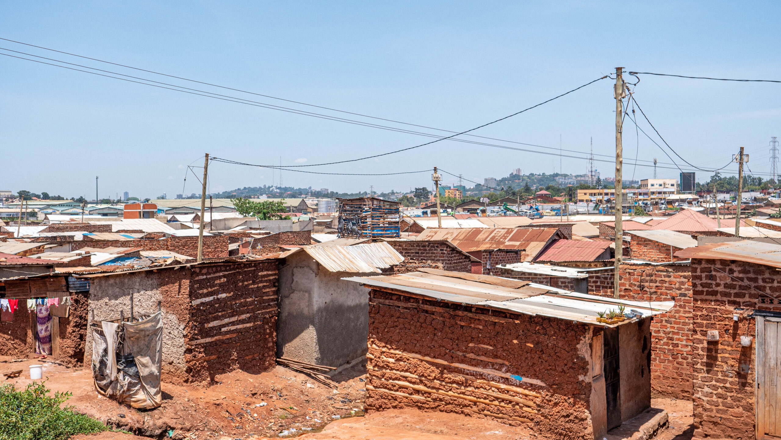
Dr Mildred M. Ambani Songoro’s policy brief examines how Nairobi’s informal settlements have been mapped repeatedly by different actors using incompatible tools that have produced fragmented and outdated data. Using Mathare as a case study, she identifies weaknesses in the city’s geospatial workflows. She proposes integrated visualisation methods—such as ArcGIS StoryMaps and flood simulation—to link settlement growth, service gaps, and climate vulnerability, thereby supporting better decision-making.
Summary
To read the full policy brief, please click on the image above or on the following DOI link: https://doi.org/10.59184/pb026.09.